N6 Galway City Ring Road
Galway County Council (GCC), on behalf of itself and on behalf of Galway City Council, is proposing to develop the N6 Galway City Ring Road (N6 GCRR) around Galway City.
The N6 GCRR is a key component of the Galway Transport Strategy (GTS) which realises Galway City and County Council’s vision of all elements of transport working together to achieve an integrated sustainable transport solution.
This vision recognises that the West Region has a significant and valuable resource in its natural heritage environment with a wide variety of species and habitats of local, national and international importance, whilst also being conscious of the need to establish effective communication links to ensure that the region continues to thrive and to offer an alternative to the east coast corridor. To get Galway City and its environs working and functioning in a sustainable manner for the future is key to this vision.
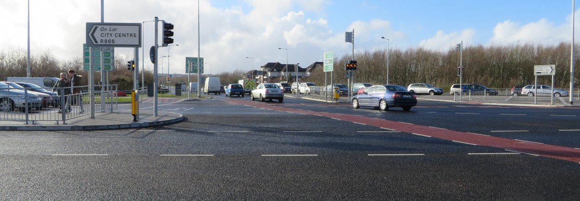
Galway City experiences significant transport problems such as:
- Peak hour congestion and journey time unreliability;
- Over reliance on private cars;
- Lack of alternative transport modes; and
- Lack of road space for the development of Smarter Mobility and Public Transport.
The initial studies for this transport solution were undertaken as part of the N6 Galway City Transport Project (GCTP). The N6 GCTP recognised that Galway has a transport problem and confirmed that there is a strong need to address the transport issues facing the city and surrounding areas at present, and to underpin future growth by establishing a long-term strategy for transport to, within and around the city. The studies undertaken for the N6 GCTP confirmed that a new River Corrib bridge crossing is possible and identified a preferred location for this crossing. The proposed road development which incorporates this river crossing is now referred to as the N6 Galway City Ring Road (GCRR).
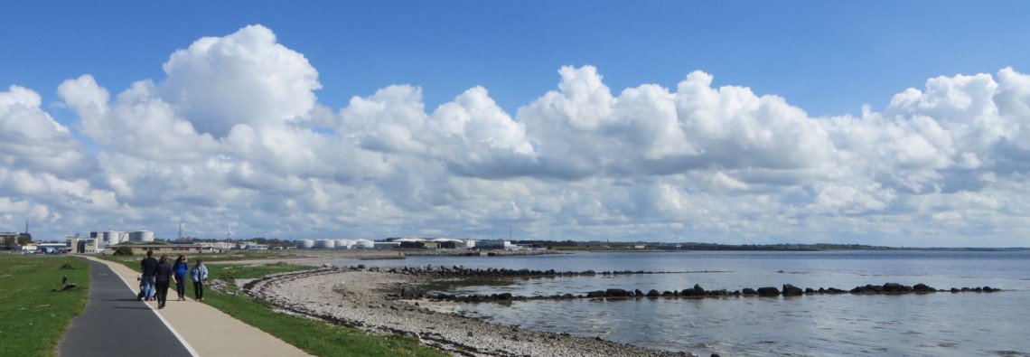
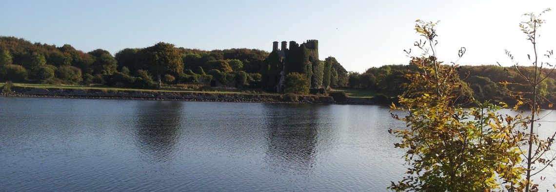
A key driver for the N6 Galway City Ring Road is to minimise the impact to the natural and built environment. Galway City is fortunate in its location on the River Corrib as it flows between Lough Corrib and Galway Bay. Lough Corrib forms a natural division between the east and west of County Galway and the distance between Lough Corrib and Galway Bay is only 4km within which lies Galway City, very much at the heart of County Galway. In addition to a beautiful location with fantastic natural amenities, the city is located in the middle of areas which are rich in natural heritage with a wealth of natural habitats. This has resulted in significant areas around Galway City being designated as areas of high ecological importance.
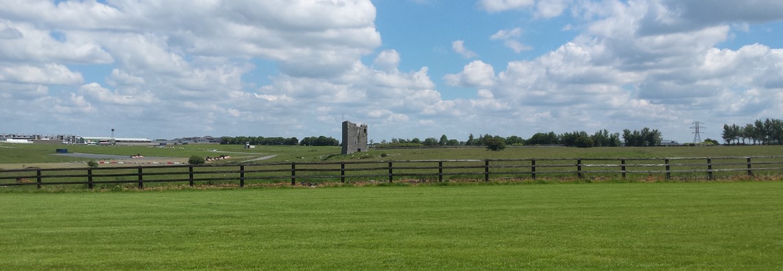
The physical form of the city, together with the limited available space between the lake and the bay, plus the presence of established communities, commercial and educational facilities, Natura 2000 designated sites and National Heritage Areas and sites of significant architectural, archaeological and cultural heritage significance presents significant constraints for developing new infrastructure for the city and focuses attention on the importance of considering all alternatives in order to minimise the impact on those designated sites.
The necessity and benefit of developing a transportation solution were established during Phase 1: Scheme Concept and Feasibility Studies. A suitable study area within which key constraints were identified, alternatives examined and feasible solutions developed was identified during Phase 2 – Route Selection Stage. A systematic assessment of these options was undertaken which led to the selection of the Emerging Preferred Route Corridor for the road component of the transport vision, the N6 Galway City Ring Road. The Emerging Preferred Route Corridor was published in May 2015. The design was then developed during Phase 3 – Design, to a stage where sufficient levels of detail exist to establish landtake requirements and to progress the scheme through the statutory processes.
The scheme is currently at Phase 4 EIS/EAR and The Statutory Processes. The objective of Phase 4 EIS/EAR and The Statutory Processes is to complete an environmental assessment of the design developed in Phase 3, identify the potential impacts of the proposed development on the receiving environment and establish mitigation measures required. Legal documentation for land acquisition is also completed as part of this phase, in addition to the statutory processes necessary to confirm that the proposed scheme is in accordance with planning and environmental legislative and procedural requirements.